
Shillong Peak
"The towering crown of Meghalaya, offering panoramic highland vistas."
Shillong Peak (Lum Shyllong) is a mountain viewpoint located in Laitkor, East Khasi Hills District, Meghalaya, at an elevation of 1,965 meters above sea level. The highest point in Meghalaya, this historic summit serves as a sacred cultural site for the Khasi people and offers a commanding 360-degree panoramic view of the city below.
Standing on the Windswept Summit
Stepping onto the observation deck at the peak is a crisp, sensory introduction to the Highlands of Meghalaya. Due to the high altitude, the air is notably cooler here than in Shillong's city center, often smelling of fresh pine and wild moss. Shifting banks of white clouds roll across the ridge, occasionally blanketing the viewing tower in total mist before dissolving to reveal a stunning canvas of pastel roofs, winding mountain roads, and deep green valleys. On exceptionally clear winter mornings, you can peer beyond the southern horizon to spot the glinting, sunlit floodplain rivers of neighboring Sylhet in Bangladesh.
Defense and Diplomacy: The Laitkor Air Force Base
The journey to the viewpoint is unique, as it winds directly through the active, high-security Laitkor Air Force Station, which serves as the headquarters of the Eastern Air Command of the Indian Air Force. This strategic military presence means entry is strictly regulated at the outer gate, keeping the summit exceptionally clean, quiet, and disciplined. Because it is an active defense installation, all visitors must present physical government-issued identity cards, and photography of defense radars, gates, or personnel is strictly prohibited. While the security check requires a bit of patience, it adds a fascinating sense of order and security to this popular landmark.
The Divine Legend of Lum Shyllong
To the indigenous Khasi people, this summit is far more than a scenic overlook; it is the spiritual cradle from which their capital city takes its name. According to Khasi folklore, the peak is the sacred home of U Blei Shyllong (the guardian deity of the hills), who is believed to protect the valleys from pestilence, storms, and external threats. Every spring, the priest of the Mylliem State (Hima Mylliem) conducts the solemn Nguh Lei Shyllong prayers atop the peak to invoke prosperity and peace. The ancient pine groves surrounding the peak are protected by traditional tribal taboos, ensuring this cloud forest canopy remains untouched.
When Is the Best Time to Visit Shillong Peak?
The mountain experience changes completely with the shifting seasons:
- November to February (Dry Winter): This is the gold standard for visibility, with crisp, sunny days and temperatures dipping to 5°C. The skies are completely clear, offering the sharpest views of the urban sprawl below and the distant plains of Bangladesh.
- March to May (Pre-Monsoon): Pleasant mountain breezes make the peak a cool escape from the plains. Wild orchids and red rhododendrons begin to bloom along the pine forest trails.
- June to September (Monsoon): The peak receives heavy rains and is frequently engulfed in thick, dripping fog, reducing visibility to less than 10 meters. While you will not see the city, walking through the wet pine trees in the heavy fog is a mystical, atmospheric experience.
Getting There
Shillong Peak is located 10 km south of Police Bazaar, which takes about 30 to 45 minutes by road depending on checkpoint lines. The approach road is fully paved and winds scenicly through pine forests. It is best to hire a local taxi or drive a private vehicle, making sure to carry physical paper copies of identity documents for every passenger in the vehicle.
Explore this historic overlook on our Magical Meghalaya 7-Day Tour or discover more options in our Shillong destination guide.
Insider Tips
- Bring physical photo ID: Security at the Air Force gate will reject digital copies or soft copies on your phone.
- Arrive early in the day: Visit around 9:00 AM to beat the long queue of vehicles at the security checkpoint.
- Avoid Wednesdays: The peak is strictly closed to the public every Wednesday.
- Rent Khasi attire: Try renting traditional Khasi clothing at the local stalls for a memorable cultural photograph.
- Look for Bangladesh: On clear winter mornings, look south-southwest past the hills to see the plains of Bangladesh.
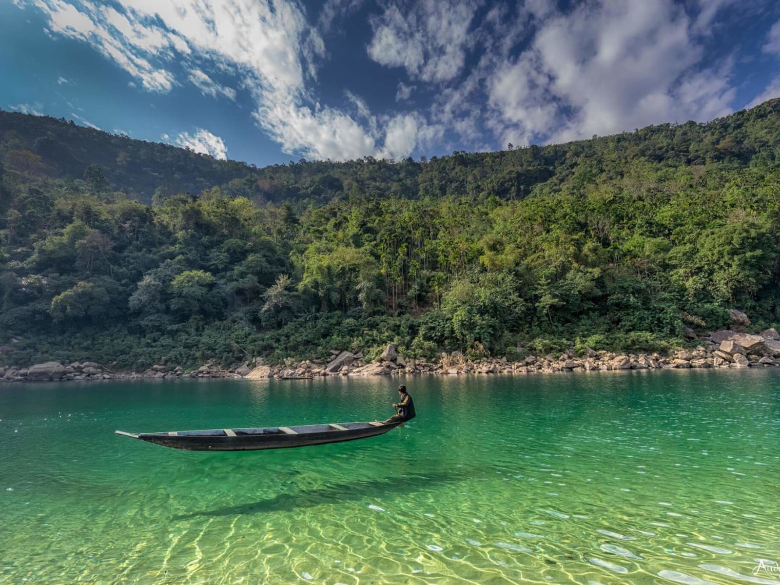
7-Day Meghalaya Tour Package: Shillong, Cherrapunji, Dawki & Mawphlang
Highlands, Living Root Bridges & Clear Waters
Visitor & Booking Protocol
Permit & Entry Check
No special state permit required for Indian citizens. Keep government photo ID ready at entrance.
Tickets & Cash Protocol
Entry desk is managed on-site. Carry small cash denominations (₹20, ₹50, ₹100) for entry and parking.
Certified Guide Desk
Authorized village community guides can be hired at the entry registration desk. Certified guide rates range between ₹800–₹1,500 depending on circuit and trail duration.
Timing & Departure Cutoff
Arrive during early morning hours (08:00–10:30 AM). Mountain trails, caves, and viewpoints generally stop inbound entry by 15:30 to ensure safe return before mountain dark.
Safety & Rules
- • No drones allowed: Drones are completely banned and will be confiscated by Air Force security.
- • No military photography: Do not take photos of gates, radars, fences, or military personnel.
- • Stay in public zones: Do not cross any fencing or entry signs marking restricted military areas.
- • No alcohol or smoking: The site is inside a military base and is a strict no-smoking zone.
Frequently Asked Questions
Best Time to Visit
Best time of day: Morning (9:00 AM - 11:30 AM) for clearest views
Visitor Specs
Closed on Wednesdays. All visitors must present physical ID at the defense entry gate.
How to Reach
Altitude & Terrain
1,965m (6,449 ft)
7-Day Meghalaya Tour Package: Shillong, Cherrapunji, Dawki & Mawphlang
Highlands, Living Root Bridges & Clear Waters
Location
Lng: 91.879700
Plan Your Trip to Shillong with Nezo
Combine Shillong Peak with living tribal heritage, scenic mountain vistas, and handpicked local stays on a private guided journey.